



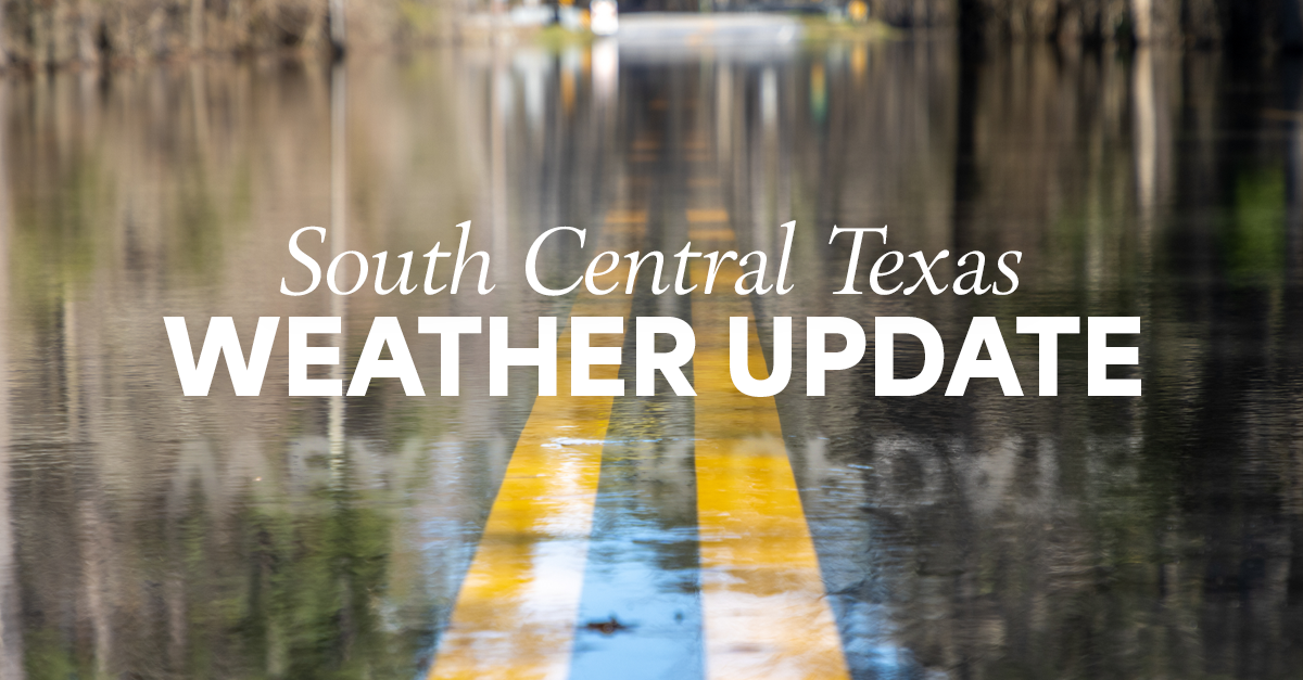
TEXAS, US - Repeated rounds of heavy thunderstorms continue to fuel dangerous flash flooding across South Central Texas, with forecasters warning that additional rainfall through Thursday could worsen already hazardous conditions.
According to MSN, some areas have already received up to 12 inches of rain, while another 10 to 20 inches is possible in isolated locations where storms repeatedly track over the same communities. The National Weather Service has maintained its highest-level excessive rainfall outlook for parts of the region, including the U.S. 90 corridor west of San Antonio, citing the potential for life-threatening flash flooding.

Officials are also monitoring rising rivers, including the Pecos, Rio Grande, Nueces, Frio, Medina and San Antonio, with downstream flooding expected to continue even after the heaviest rain ends. Numerous water rescues and road closures have already been reported as saturated conditions persist.
Rain chances are expected to gradually diminish by Friday before drier weather returns early next week.
For more weather news, keep a tab on ANUK.